
FrontRow
Dallas Arts from the Best Seat in the House

Home & Garden
A Look Into the Life of Bowie House’s Jo Ellard
Bowie House owner Jo Ellard has amassed an impressive assemblage of accolades and occupations. Her latest endeavor showcases another prized collection: her art.
Culture Guides

Things to Do in Dallas
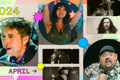
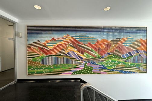
Things To Do in Dallas This Weekend
How to enjoy local arts, music, culture, food, fitness, and more all week long in Dallas.
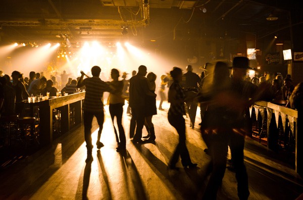
Nightlife
Things to Do in Dallas
Things To Do in Dallas This Weekend
How to enjoy local arts, music, culture, food, fitness, and more all week long in Dallas.

Latest

Home & Garden
A Look Into the Life of Bowie House’s Jo Ellard
Bowie House owner Jo Ellard has amassed an impressive assemblage of accolades and occupations. Her latest endeavor showcases another prized collection: her art.
Visual Arts
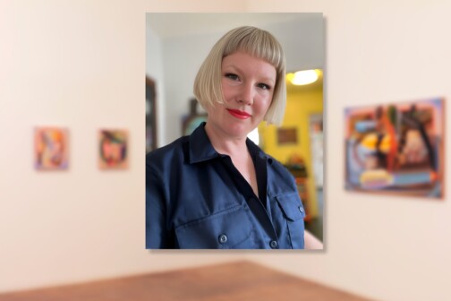
Raychael Stine’s Technicolor Return to Dallas
The painter's exhibition at Cris Worley Fine Arts is a reflection of her training at UTD—and of Dallas' golden period of art.

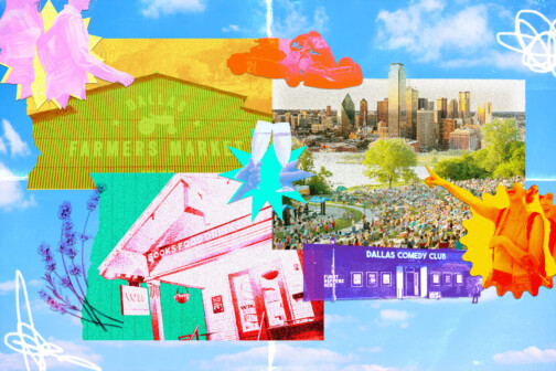
Things to Do in Dallas
Things To Do in Dallas This Weekend
How to enjoy local arts, music, culture, food, fitness, and more all week long in Dallas.
Arts & Entertainment
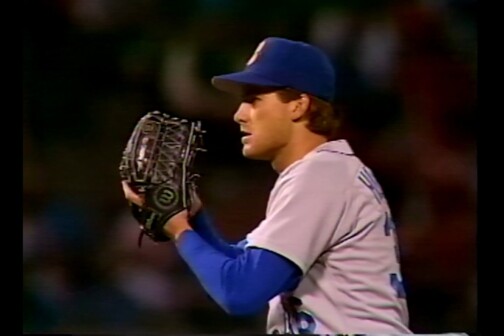
Curve Ball: Local Shorts Highlight Diverse USA Film Festival Slate
A college freshman spotlights his high school pitching coach’s unique baseball story in his filmmaking debut.
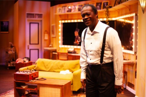
Arts & Entertainment
WaterTower Theatre Invites Audiences Backstage for an Evening with Louis Armstrong
Terry Teachout’s first play, SATCHMO AT THE WALDORF, shares details about Louis Armstrong after one of his final shows.
Latest
Publications
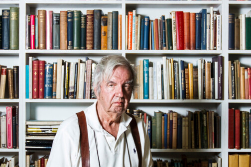
Larry McMurtry at the Strip Mall
The legendary author’s voluminous private book collection landed at an unassuming spot off the Tollway.

Publications
When Dr. Phil Called, Houston Newscaster Dominique Sachse Answered
Sachse didn't ever plan on returning to TV news. Find out what changed her mind, how she manages her busy schedule, and her thoughts on skinny jeans.
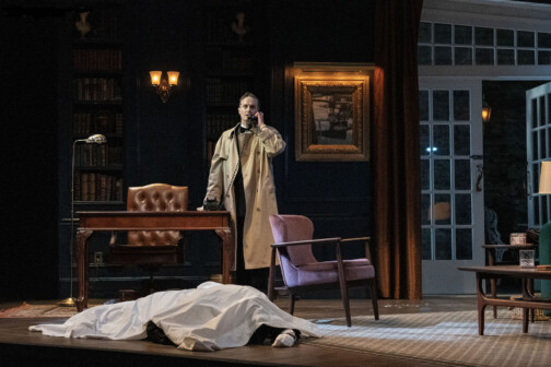
Arts & Entertainment
Dallas Theater Center Dials Up a New Take on a Classic Thriller
An iconic Alfred Hitchcock-directed film comes to life in a new and thrilling fashion at the Dallas Theater Center through April 28.
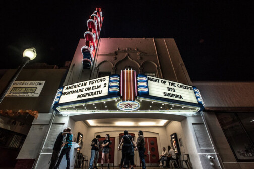
Movies
Renegade Filmmaker Jem Cohen Brings Two Films to the Texas Theatre This Weekend
Talented Friends will present two of Cohen’s feature films, including his documentary about the band Fugazi. It showcases the artistry of a director who works outside the mainstream.
Arts & Entertainment
A Sampling of the Best Art and Galleries at the Dallas Art Fair and the Dallas Invitational
The Arts District is the nerve center for Dallas Arts Month, and this weekend is home to the two most notable events this April. Here are your best bets—and what Dirk saw.